In this paper, Thomas et al. introduce a new, affordable way to study characteristics of rocket motors using small-scale rocket motors.
Read More...Browse Articles
Enhancing the quantum efficiency of a silicon solar cell using one dimensional thin film interferometry
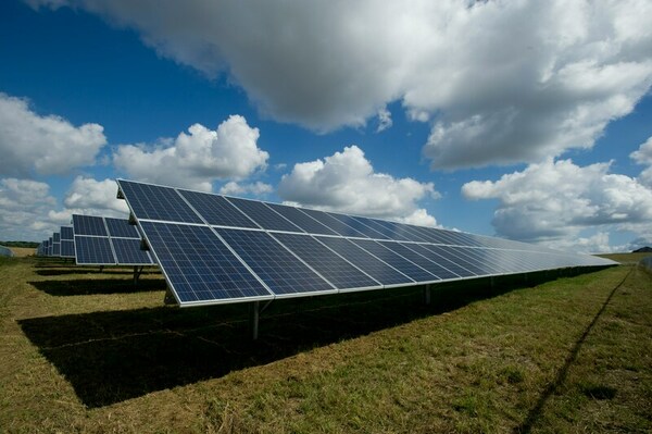
Here, recognizing the need to improve the efficiency of the conversion of solar energy to electrical energy, the authors used MATLAB to mathematically simulate a multi-layered thin film with an without an antireflective coating. They found that the use of alternating ZnO-SiO2 multilayers enhanced the transmission of light into the solar cell, increasing its efficiency and reducing the reflectivity of the Si-Air interface.
Read More...Determining the Habitable Zone Around a Star
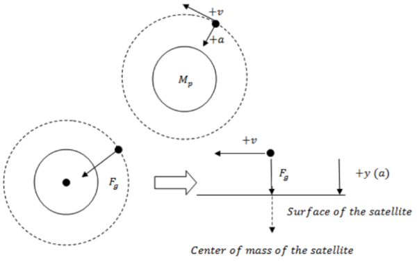
Life requires many things, including a hospitable temperature, elements, and energy. Here the authors utilize Newton's laws of physics and information relating a star's luminosity and temperature to determine the minimum and maximum masses and luminosities of planets and stars that would support life as we know it. This work can be used to determine the likelihood of a planet being able to support life based on attributes we can measure from here on Earth.
Read More...Ground-based Follow-up Observations of TESS Exoplanet Candidates
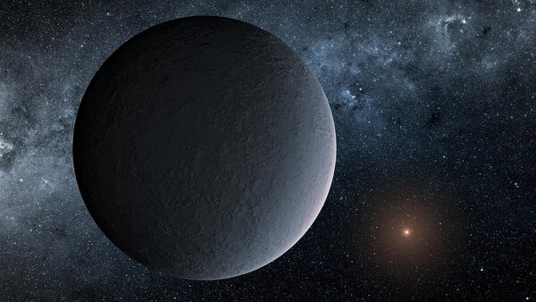
The goal of this study was to further confirm, characterize, and classify LHS 3844 b, an exoplanet detected by the Transiting Exoplanet Survey Satellite (TESS). Additionally, we strove to determine the likeliness of LHS 3844 b and similar planets as qualified candidates for observation with the James Webb Space Telescope (JWST).
Read More...Analyzing aerosol variation during the COVID-19 pandemic lockdown using satellite data

In this study, the authors use aerosol optical depth data to determine if aerosol levels were lower in major metropolitan areas around the world during the COVID-19 pandemic.
Read More...Evaluating machine learning algorithms to classify forest tree species through satellite imagery

Here, seeking to identify an optimal method to classify tree species through remote sensing, the authors used a few machine learning algorithms to classify forest tree species through multispectral satellite imagery. They found the Random Forest algorithm to most accurately classify tree species, with the potential to improve model training and inference based on the inclusion of other tree properties.
Read More...Interaction of light with water under clear and algal bloom conditions

Here, recognizing the potential harmful effects of algal blooms, the authors used satellite images to detect algal blooms in water bodies in Wyoming based on their reflectance of near infrared light. They found that remote monitoring in this way may provide a useful tool in providing early warning and advisories to people who may live in close proximity.
Read More...Flight paths over greenspace in major United States airports
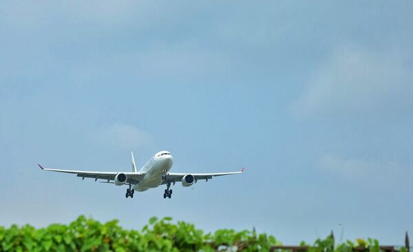
Greenspaces (urban and wetland areas that contain vegetation) are beneficial to reducing pollution, while airplanes are a highly-polluting method of transportation. The authors examine the intersection of these two environmental factors by processing satellite images to reveal what percentage of flight paths go over greenspaces at major US airports.
Read More...Assessing the association between developed surface area and land surface temperature of urban areas
Almost all urban areas face the challenge of urban heat islands, areas with substantially hotter land surface temperatures than the surrounding rural areas. These areas are associated with worse air and water
quality, increased power outages, and increased heat-related illnesses. To learn more about these areas, Ustin et al. analyze satellite images of Cleveland neighborhoods to find out if there is a correlation between surface area development and surface temperature.
Fire detection using subterranean soil sensors
The authors looked at how soil temperature changes with fire to develop a sensor system that could aid in earlier detection of fires.
Read More...