Assessing the association between developed surface area and land surface temperature of urban areas
(1) Mastery School of Hawken, (2) Vanderbilt University, (3) John Cabot University, (4) Bennett Day School, (5) Explore Learning
https://doi.org/10.59720/23-235
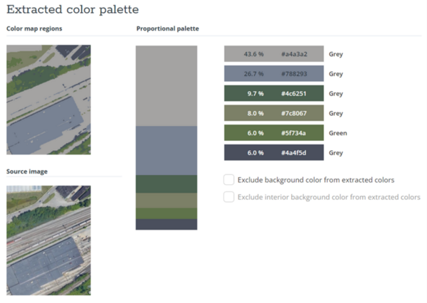
Urban heat islands are metropolitan areas with warmer land surface temperatures (LST) than the surrounding rural areas, and are associated with worse air and water quality, increased numbers of blackouts and power outages, and increased heat-related illnesses and deaths. The objective of this study was to investigate the contributions of infrastructure development to LST in a sample of neighborhoods in Cleveland, Ohio. Utilizing satellite images, we compared the performance of color analysis software to manual measurement in assessing the amount of developed geographic surface area in a sample. We investigated the correlation between surface area development and LST. Color analysis produced comparable results relative to the manual measurement of the extent of development in a sample (R2 = 0.9, p < 0.0001). Results show a moderate degree of linearity between the proportion of development in an area and its LST (R2 = 0.48, p < 0.0001). This suggests that development may be a contributor to rising temperatures in urban areas. Efforts toward sustainable development and increases in greenery could help slow the rising temperatures. Assessments of the proportion of areas that are developed could guide where these efforts are focused.
This article has been tagged with: