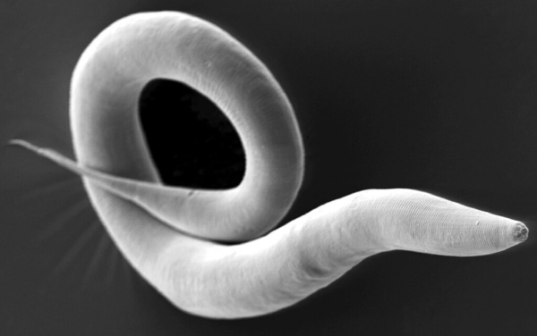
Here the authors investigated the effects of natural coagulants on reducing the turbidity of water samples from the Tennessee River Watershed. They found that turbidity reduction was higher at lower temperatures for eggshells. They then projected and mapped turbidity reactions under two climate change scenarios and three future time spans for eggshells. They found site-specific and time-vary turbidity reactions using natural coagulants could be useful for optimal water treatment plans.
Almost all urban areas face the challenge of urban heat islands, areas with substantially hotter land surface temperatures than the surrounding rural areas. These areas are associated with worse air and water
quality, increased power outages, and increased heat-related illnesses. To learn more about these areas, Ustin et al. analyze satellite images of Cleveland neighborhoods to find out if there is a correlation between surface area development and surface temperature.
This study explores how different economic sectors, geographic regions, and greenhouse gas types might affect future global mean surface temperature (GMST) anomalies differently from historical patterns. Using the Finite Amplitude Impulse Response (FaIR) model and four Shared Socioeconomic Pathways (SSPs) — SSP126, SSP245, SSP370, and SSP585 — the research reveals that future contributions to GMST anomalies.
Here, in an effort to identify alternatives to oil-based plastic, the authors sought to investigate the effects of plasticizers on the mechanical properties and chemical composition of gelatin bioplastic matrices. Through measurements of their tensile strength and elongation at break, along with FTIR spectroscopy, they identified 3% w/v polyethylene glycol film as having the best performance in their study..
With climate change and rising sea levels, south Brooklyn is exposed to massive flooding and intense precipitation. Previous research discovered that flooding shifts plant species distribution, decreases soil pH, and increases salt concentration, nitrogen, phosphorus, and potassium levels. The authors predicted a decreasing trend from Zone 1 to 6: high-pH, high-salt, and high-nutrients in more flood-prone areas to low-pH, low-salt, and low-nutrient in less flood-prone regions. They performed DNA barcoding to identify plant species inhabiting flood zones with expectations of decreasing salt tolerance and moisture uptake by plants' soil from Zones 1-6. Furthermore, they predicted an increase in invasive species, ultimately resulting in a decrease in biodiversity. After barcoding, they researched existing information regarding invasiveness, ideal soil, pH tolerance, and salt tolerance. They performed soil analyses to identify pH, nitrogen (N), phosphorus (P), and potassium (K) levels. For N and P levels, we discovered a general decreasing trend from Zone 1 to 6 with low and moderate statistical significance respectively. Previous studies found that soil moisture can increase N and P uptake, helping plants adopt efficient resource-use strategies and reduce water stress from flooding. Although characteristics of plants were distributed throughout all zones, demonstrating overall diversity, the soil analyses hinted at the possibility of a rising trend of plants adapting to the increase in flooding. Future expansive research is needed to comprehensively map these trends. Ultimately, investigating trends between flood zones and the prevalence of different species will assist in guiding solutions to weathering climate change and protecting biodiversity in Brooklyn.
Here, the authors sought to investigate the effects of water current on the growth of colonies of duckweed, a floating plant that forms colonies in silent ponds, marshes, lakes , and streams in North America. They found that current flow mediates the formation of colonies, disrupting and recreating the colonies which provides the opportunity for reorganizations that were identified as beneficial.
Several studies have applied different machine learning (ML) techniques to the area of forecasting solar photovoltaic power production. Most of these studies use weather data as inputs to predict power production; however, there are numerous practical issues with the procurement of this data. This study proposes models that do not use weather data as inputs, but rather use past power production data as a more practical substitute to weather-based models. Our proposed models demonstrate a better, cheaper, and more reliable alternatives to current weather models.
Emissions from oil and natural gas (O&G) wells such as nitrogen dioxide (NO2), volatile organic compounds (VOCs), and ozone (O3) can severely impact the health of communities located near wells. In this study, we used O&G activity and wind-carried emissions to quantify the extent to which O&G wells affect the air quality of nearby communities, revealing that NO2, NOx, and NO are correlated to O&G activity. We then developed a novel land use regression (LUR) model using machine learning based on O&G prevalence to predict emissions.
Commercial Concentrated Animal Feeding Operations (CAFOs) produce large quantities of waste material from the animals being housed in them. These feedlots found across the United States contain livestock that produce waste that results in hazardous runoff. This study examines how CAFOs affect water sources by testing for Escherichia Coli (E. coli) content in bodies of water near CAFOs.
Genetically modified organisms (GMOs) are crops or animals that have been genetically engineered to express a certain physical or biological characteristic and have various benefits that have made them become increasingly popular. However, the public has had mixed reactions to the use of GMOs, with some skeptical of their safety. The purpose of this study was to evaluate how opinions on genetically modified foods can change from exposure to small amounts of information